Putting the smart back into smartphone
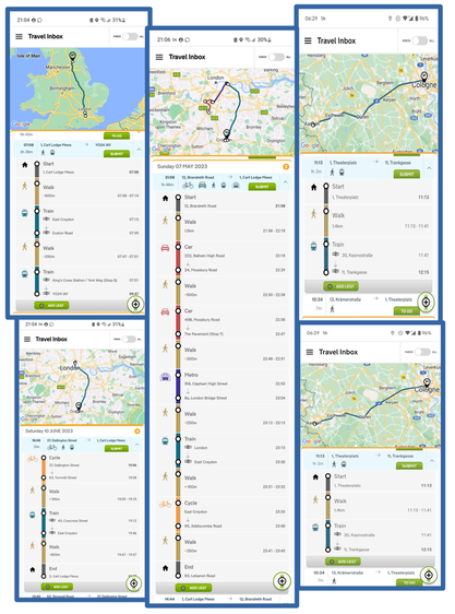
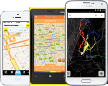
The TravelAi X-Ray SDK lets apps have new super powers, such as contextual mobility related insights about the user. This is designed to be as effortless for end users as it is for the enterprise licensing our IP.
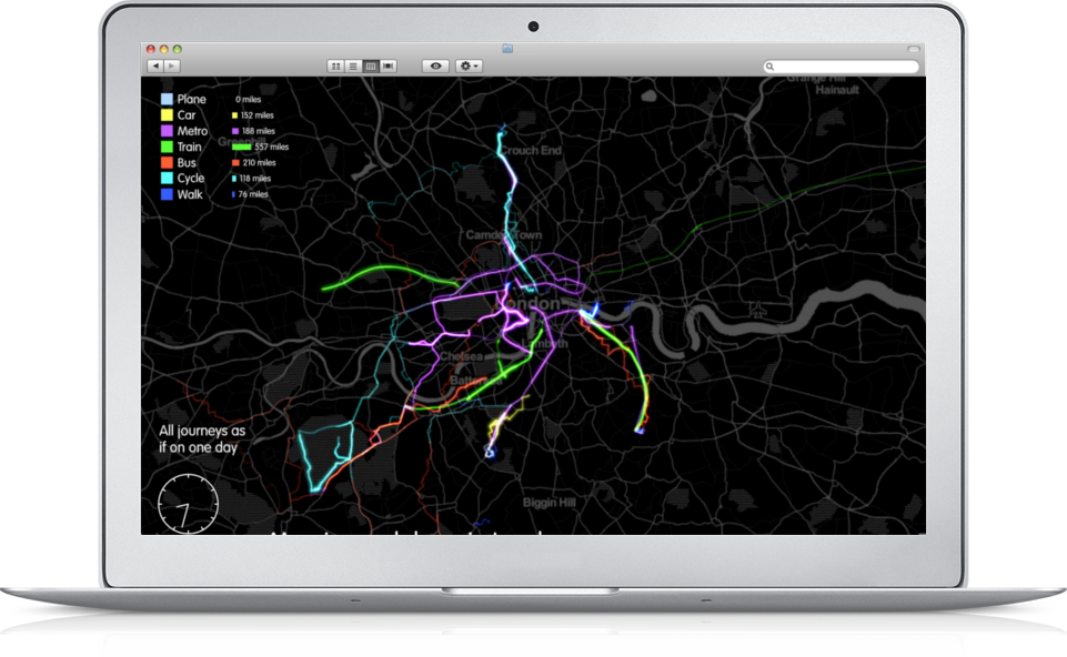
Without any user input we can detect eight public, private and active travel methods such as travel by car, bus, bike, train, tube (aka metro or subway), tram, foot, plane and interchange and dwell stops too. Data for Good, Privacy Matters and Ethical Geo
From the outset TravelAi built its automatic mode detection smartphone software X-Ray to generate otherwise impossible to get data. But we're even more driven about the power of using data for good, and why we have worked with leading global privacy advocates to build an open-source data obfuscation tool. This in turn allowing data aggregation and sharing user consented data with transport stakeholders.
http://www.travelai.info/ethical-geo--data-4-good.html |
They are costly, suboptimal and survey fatigue is real
The X-Ray mode detections works in the background, effortlessly figuring out how your passengers, users or employees are moving around. This saves them any manual input and you the hassle of trying to get them to fill out surveys (marketers call this survey fatigue).
Being able to run ongoing travel studies also means a live source of real-world travel behaviour data flowing in. No more data/single mode silos and time-poor users enjoy a much easier interaction. Yet the tech is light on battery and even lighter with data transfer. We developed the MyWays app in coordination with National Highways to help effortlessly capture how road users are also passengers of services, pedestrians and cyclists. Because how we travel is a complex interplay of public transit, private and active travel. We then took inspiration from amongst others, the National Travel Survey and Census to include user edits and validation, as well as a qualitative survey option. www.travelai.info/myways-travel-surveys.html |
Already internationalised, plus we do the heavy lifting of IP maintenance and build apps too
Because users don't see borders, right from the outset we recognised the even bigger value proposition of being able to detect multimodal travel behaviours across nations. So we're able to run in Europe, North America, Australasia and some of South America.
We continually refine the X-Ray software to get the best out of the latest phones and are up to speed with Android and iOS Operating System updates so developers don't have to. We also craft our own apps and client commissions. |
If data's your thing, let's build a transport data commons together to tackle the most pressing challenges of our time
Our biggest asset is the combined intelligence of our community. In building up a transport data commons we are driven by a larger mission of 'data for doing good'. This means strict operational use case scenarios which exclude any selling, sharing or other means with the Location Based Advertising universe. With the data only to be used in ways to benefit end users travels and contribute to making transport systems work better.
Optimising how our private and public transit systems work together is the prize we covet achieving with our partners. Because having a joined up bottom-up approach to understanding the unique end-to-end mobility habits of citizens, drivers and passengers will help reduce congestion, disruption and inform the mobility services of the future. An optimised, decarbonised and more intuitive transport system is key to fighting the climate crisis that ways upon us in this moment. |
Google Play and the Google Play logo are trademarks of Google Inc.


